
another instance of my inability to conform
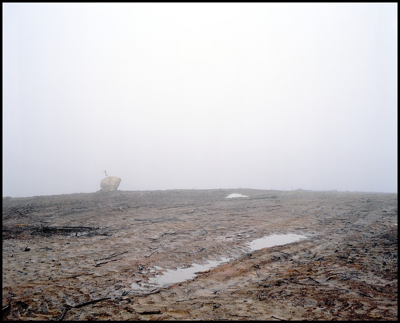
;) click 'er for bigger
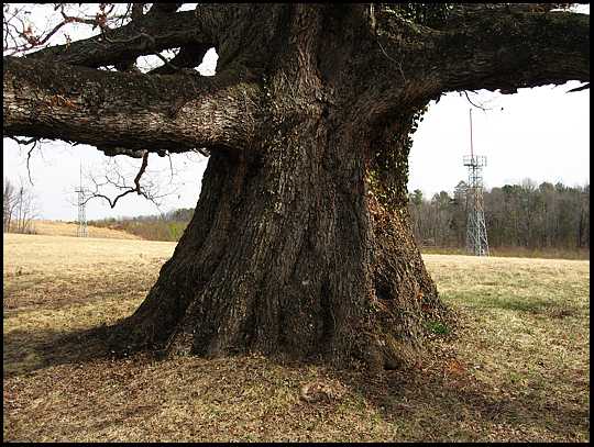
click 'er for bigger
This is a photograph that could benefit from an audio component. Or at least it would make the reality of its nature more immediate. But as I wrestle with what it is that I want to do with a motion picture capture device, it is fairly obvious that what "typically" works is not a collection of still images, even complimented with sound. The question that is posed by director Peter Watkins in his critique of the media and film making, is whether we can find other means of communication through visual media that transcends the hegemony of the three act structure of virtually all story telling.
This extreme crisis for global civil society AND for the environment, falls into six principal areas under examination: • the role of the American MAVM [Mass Audio Visual Media], with their disastrous impact on global politics, social life, and culture • the somewhat less obvious, but equally dangerous role of the MAVM in most other countries • the role of global media educators (encouraging young people to enter the mass media as acquiescent professionals, or to accept the mass media as passive consumers) • the role of film festivals and of film makers themselves • the complex role of the counter-culture movement • the role of the public.
Crucial to Watkins' analysis of the MAVM is his examination of the Monoform:
To explain to new readers: The MONOFORM is the internal language-form (editing, narrative structure, etc.) used by TV and the commercial cinema to present their messages. It is the densely packed and rapidly edited barrage of images and sounds, the 'seamless' yet fragmented modular structure which we all know so well. This language-form appeared early on in the cinema, with the work of pioneers such as D.W.Griffith, and others who developed techniques of rapid editing, montage, parallel action, cutting between long shots/close shots, etc. Now it also includes dense layers of music, voice and sound effects, abrupt cutting for shock effect, emotion-arousing music saturating every scene, rhythmic dialogue patterns, and endlessly moving cameras.
He proposes alternative ways of viewing (see especially this section of his statement), and that the entire process of media production become more democratic through subjects and audiences becoming involved and a part of the means of communication. After all, the word implies some sort of two way process, rather than the simple passivity of a silent audience in a cinema or on the couch in the living room.
Can a lone landscape photographer find a way through this minefield?
 Large Format, manmadewilderness, my aesthetic, process, the recent past
 ;)
;)
;)
;)

;)
;)
;)
;)
;)
;)
;)

;)
;)
;)
;)

;)
;)
;)

;)

;)

;)

;)
